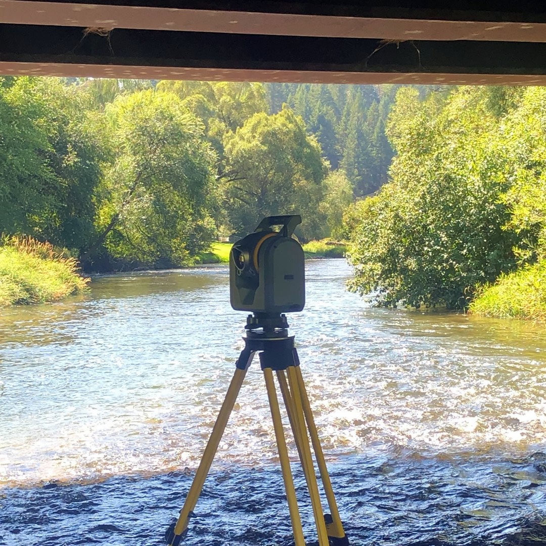
Surveying
Surveying is a integral part of our work because it defines the property or right of way that we work within (boundary surveying) and the land we are working on (topographic surveying). Welch Comer continues to invest in the latest technology, equipment, and staff training to keep our survey crews as efficient and effective as possible.
Services
Topographic Survey
Boundary Survey
Right-of-Way
ALTA/ASCM Surveys
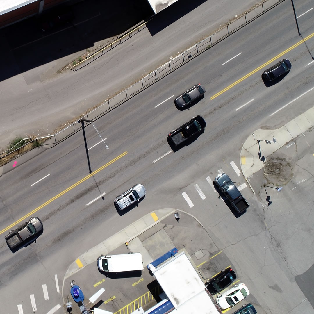
Aerial Drone Surveying
Bathymetric Survey
WATER
Notable Projects
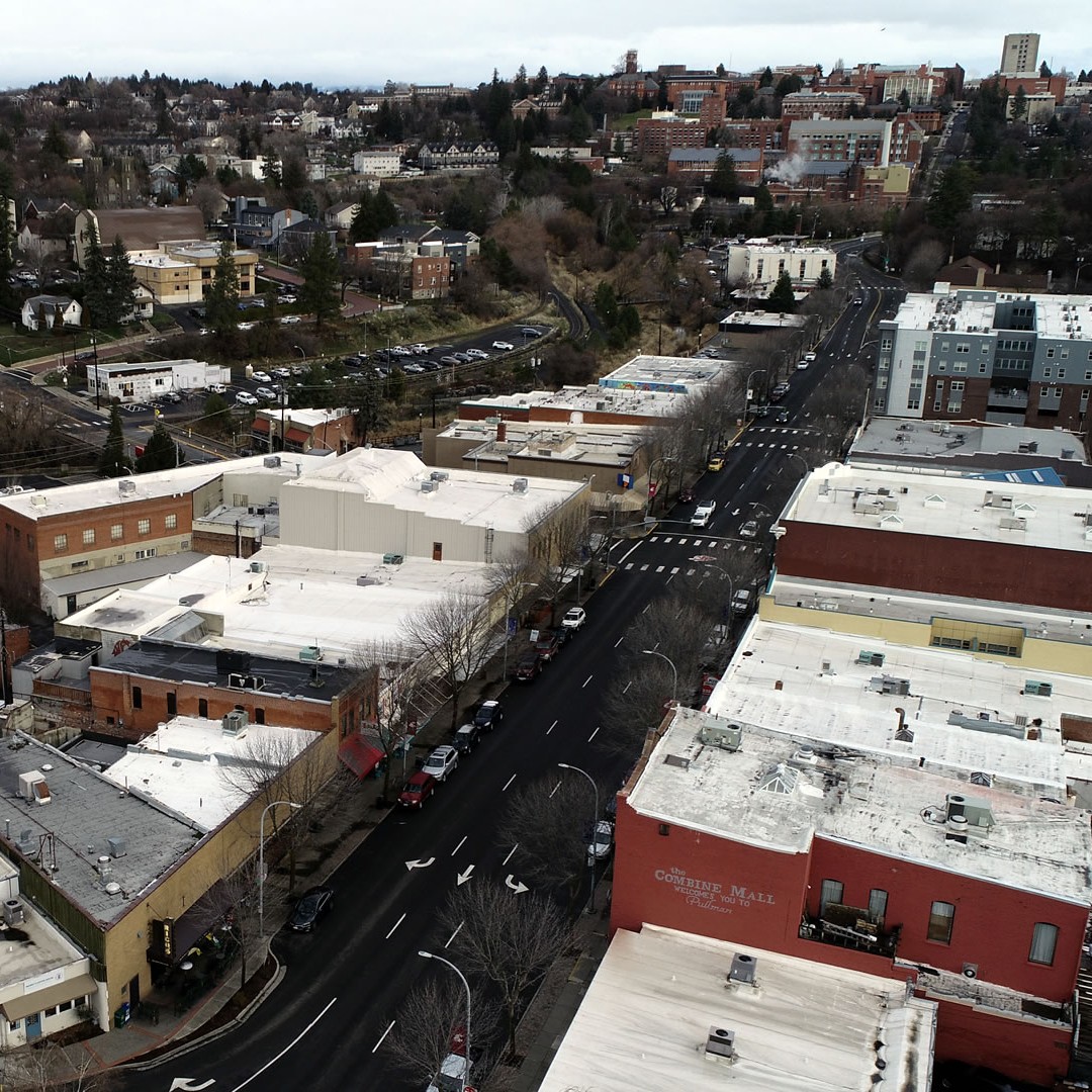
Pullman Downtown
City of Pullman
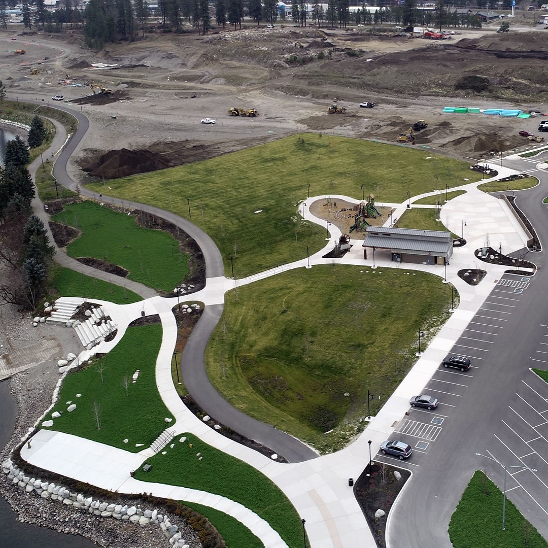
Ponderay Lakeshore Connection
City of Ponderay
Atlas Development
ignite cda
Zone 3 to Zone 8 Transmission Main
Whitworth Water District No. 2
Argonne Widening
City of Millwood
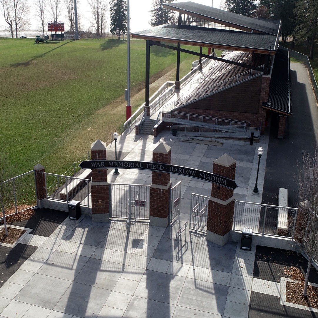
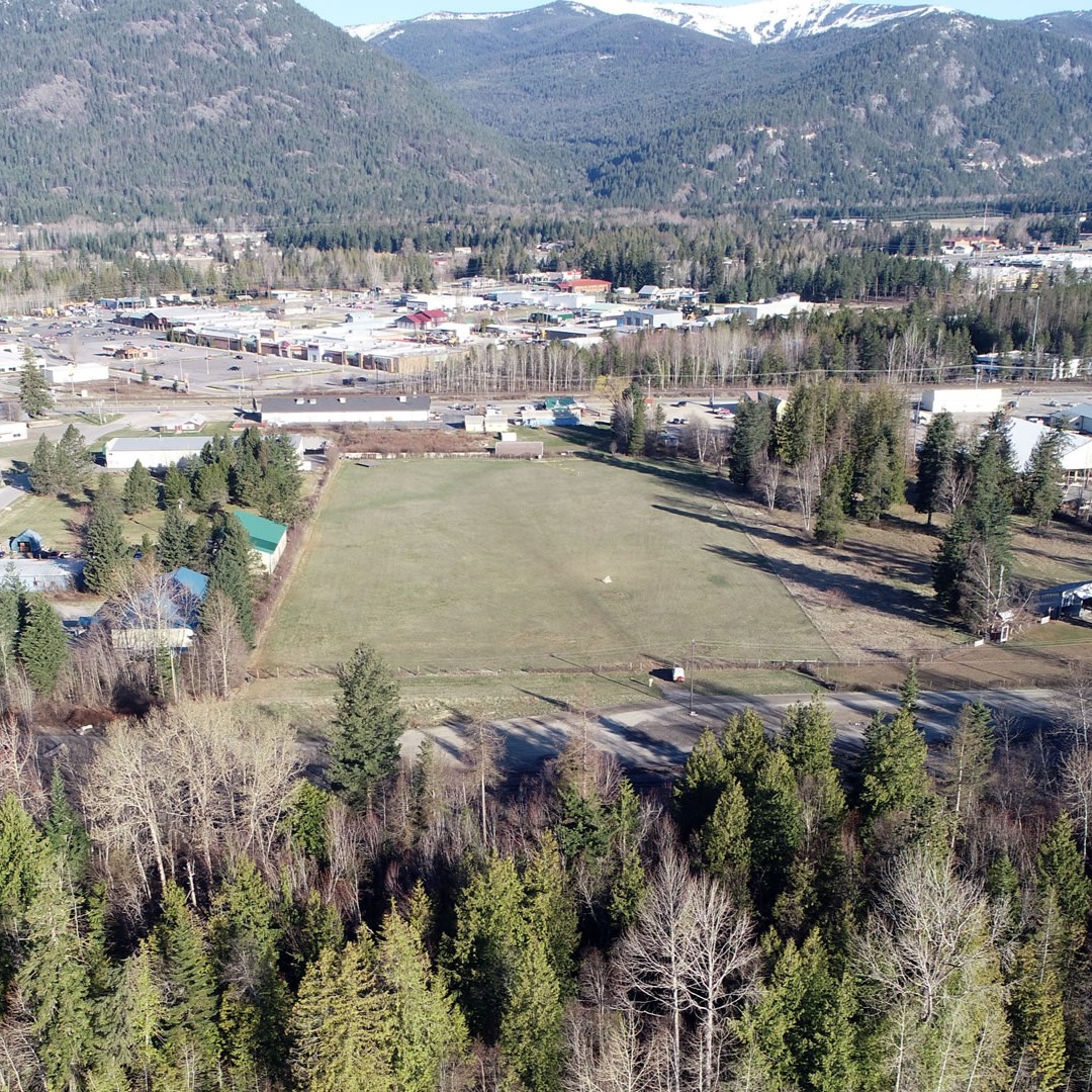
War Memorial Field
City of Sandpoint

Passionate People
Serving Communities
Together
(208) 664-5946